MT2.1 Coastal shrublands and grasslands
MT2. Supralittoral coastal biome
MT2
Profile summary
Full profile at https://global-ecosystems.org/explore/groups/MT2.1
Brief description
A low diversity of specialised plants and animals live in grasslands, shrublands, and low forests on coastlines above the high tide mark where they are exposed to harsh conditions of salt influx, desiccating winds and sunshine, and disturbances associated with storms or unstable substrates (e.g. cliffs and dunes). Plants, for example, exhibit traits such as succulence and rhizomes to promote persistence in these conditions, and many organisms are widely dispersed by winds or ocean currents. Consumers like seabirds or seals move between terrestrial and marine environments.
Key features
Coastal scrub limited by salinity, water deficit and disturbances (e.g. cliff collapse). Strong gradients from sea to land and highly mobile fauna..
Overview of distribution
Coastal dunes and cliffs in tropical, temperate and boreal latitudes.
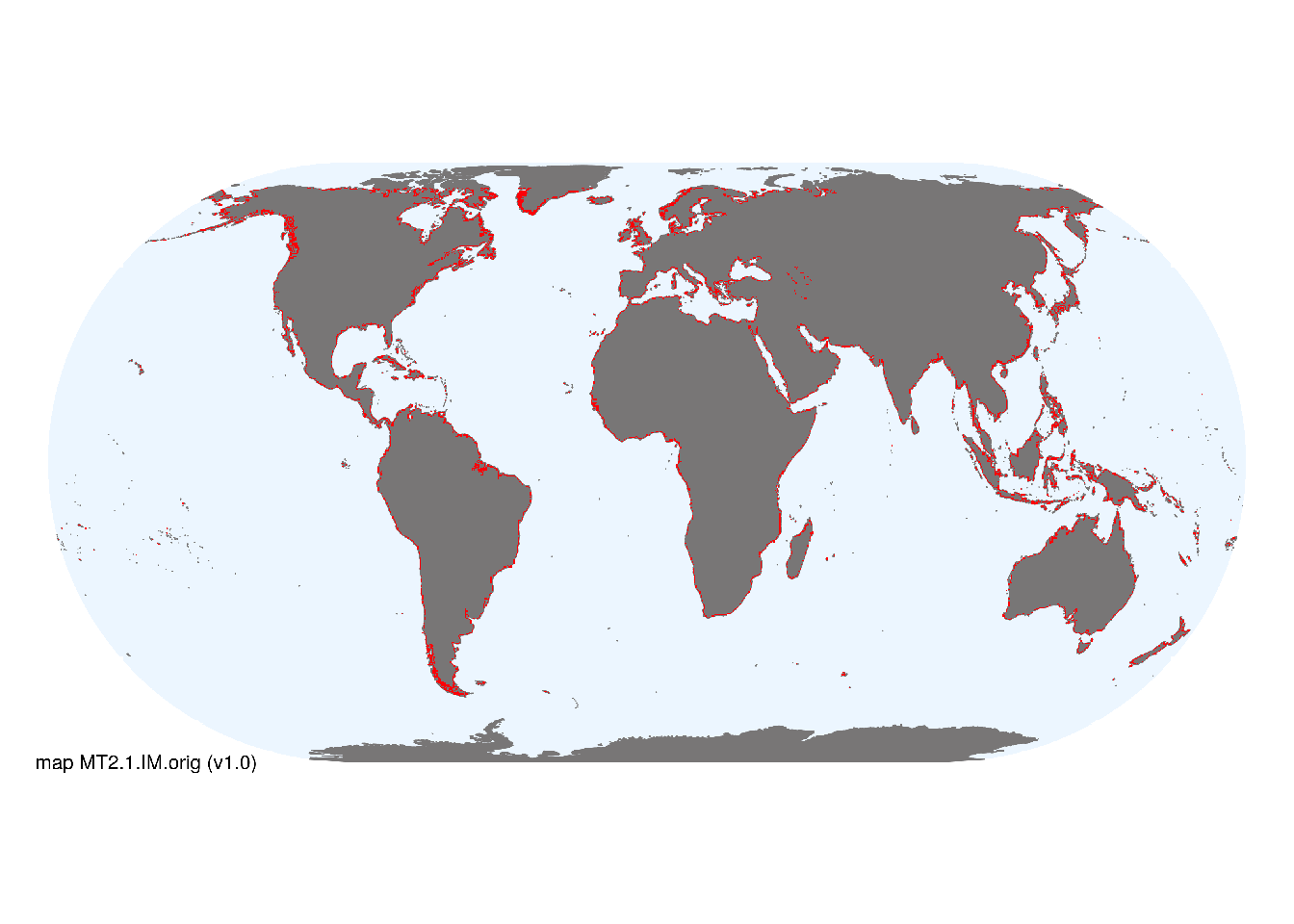
Map description
Coastlines were mapped with a 5 km buffer applied between 60°S and 60°N..
Map code and version: MT2.1.web.map v1.0, available at ![]()
Version history
Profile versions
- v2.1 (2022-04-06): DA Keith; J Loidi; ATR Acosta.1
- v2.01 (2021-12-31): NA.
- v2.0 (2020-05-29): DA Keith; J Loidi; ATR Acosta.
- v1.0 (2020-01-20): DA Keith.
Available maps
Read more details about the current map versions here.
- Indicative Map (code: MT2.1.IM.orig, version v1.0)
- Web navigation (code: MT2.1.web.map, version v1.0)

Read more details about older or alternative versions of maps for this functional group.
- Web navigation: discarded (code: MT2.1.web.orig, version v1.0)
References
Main references
References used in the different versions of the profiles.
- van der Maarel E (2001) Dry coastal ecosystems: General aspects Ecosystems of the world 2C. Elsevier, Amsterdam
Map references
References used in the different versions of the maps (current and discarded).
- Becker JJ, Sandwell DT, Smith WHF, Braud J, Binder B, Depner J, Fabre D, Factor J, Ingalls S, Kim S-H, Ladner R, Marks K, Nelson S, Pharaoh A, Trimmer R, Von Rosenberg J, Wallace G, Weatherall P (2009) Global Bathymetry and Elevation Data at 30 Arc Seconds Resolution: SRTM30_PLUS, Marine Geodesy 32: 355-371. DOI:10.1080/01490410903297766
Footnotes
This is the current version available at official site.↩︎