T4.3 Hummock savannas
T4. Savannas and grasslands biome
T4
Profile summary
Full profile at https://global-ecosystems.org/explore/groups/T4.3
Brief description
Found only in northern Australia, hummock savannas are distinguished by a ground layer of slow-growing, domed hummock grasses interspersed with bare ground and some trees and shrubs. These habitats are less strongly seasonal than other savannas, but still with winter droughts and summer rains, and many plant adaptations to seasonal drought. Recurring fires are an important factor promoting patchiness of vegetation, but post-fire recovery is slower than other savanna ecosystems. Rocky coarse-textured substrates are low in nutrients. Foodwebs are correspondingly simple, with large numbers of invertebrates and low numbers of mammalian herbivores and vertebrate predators.
Key features
Sparse to open low-productivity woodlands in nutrient poor often rocky landscapes with C4 hummock grasses, rich reptile fauna, abundant termites, moderate herbivore densities and irregular fires..
Overview of distribution
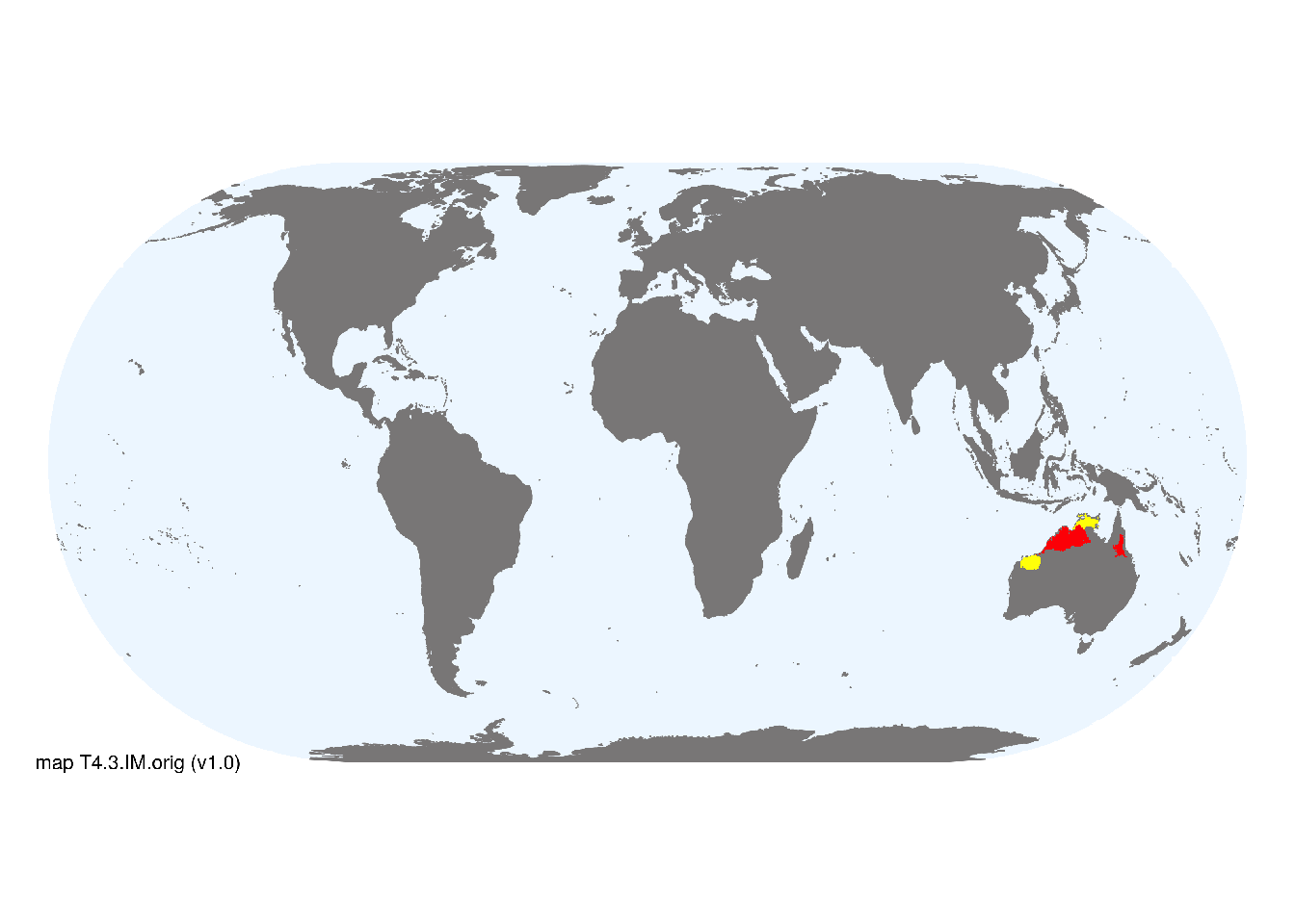
Restricted to northern Australia in the wet-dry and semi-arid tropics..
Map description
Terrestrial ecoregions containing major or minor occurrences of this ecosystem functional group were identified by consulting available ecoregion descriptions (Dinerstein et al. 2017), global and regional reviews, national and regional ecosystem maps, locations of relevant examples, and proofed by expert reviewers. Consequently they are coarse-scale indicative representations of distribution, except where they occupy small ecoregions. Ecoregions were mapped at 30 arc second spatial resolution..
Map code and version: T4.3.web.orig v1.0, available at ![]()
Version history
Profile versions
- v2.1 (2022-04-06): DA Keith; RJ Williams.1
- v2.01 (2021-12-31): NA.
- v2.0 (2020-06-15): DA Keith; RJ Williams.
- v1.0 (2020-01-20): DA Keith.
Available maps
Read more details about the current map versions here.
- Web navigation (code: T4.3.web.orig, version v1.0)

- Indicative Map (code: T4.3.WM.nwx, version v1.0)
Read more details about older or alternative versions of maps for this functional group.
- Indicative Map: discarded (code: T4.3.IM.mix, version v1.0)
- Indicative Map: superceeded (code: T4.3.IM.orig, version v1.0)
References
Main references
References used in the different versions of the profiles.
- Lehmann CER, Anderson TM, Sankaran M, Higgins SI, Archibald S, Hoffmann WA, et al. (2014). Savanna vegetation-fire-climate relationships differ among continents. Science 343, 548-552.
- Williams RJ, Cook GD, Liedloff AC, Bond WJ (2017) Australia’s tropical savannas: vast ancient and rich landscapes Australian vegetation (Ed. DA Keith), pp 368-388. Cambridge University Press, Cambridge. ISBN 978-1-107-11843-0
Map references
References used in the different versions of the maps (current and discarded).
- Dinerstein E, Olson D, Joshi A, Vynne C, Burgess ND, Wikramanayake E, Hahn N, Palminteri S, Hedao P, Noss R, Hansen M, Locke H, Ellis EE, Jones B, Barber CV, Hayes R, Kormos C, Martin V, Crist E, Sechrest W, Price L, Baillie JEM, Weeden D, Suckling K, Davis C, Sizer N, Moore R, Thau D, Birch T, Potapov P, Turubanova S, Tyukavina A, de Souza N, Pintea L, Brito JC, Llewellyn Barnekow Lillesø JP, van Breugel P, Graudal L, Voge M, Al-Shammari KF, Saleem M (2017) An Ecoregion-Based Approach to Protecting Half the Terrestrial Realm, BioScience 67: 534–545. DOI:10.1093/biosci/bix014. Data-set available on-line
- Keith, D. A. & Tozer, M. G. (2017) Girt: a continental synthesis of Australian vegetation Australian vegetation. D. A. Keith. Editor, pp3-39. Cambridge University Press, Cambridge
- Tuanmu, M.-N. and W. Jetz (2014) A global 1-km consensus land-cover product for biodiversity and ecosystem modeling Global Ecology and Biogeography 23(9):1031–1045 DOI:10.1111/geb.12182
Footnotes
This is the current version available at official site.↩︎