T3.3 Cool temperate heathlands
T3. Shrublands and shrubby woodlands biome
T3
Profile summary
Full profile at https://global-ecosystems.org/explore/groups/T3.3
Brief description
In cool temperate, humid, maritime environments, a dense cover of low shrubs with small tough leaves is interspersed with grasses and ferns. Cold temperatures and low-fertility acid soils limit productivity, with wet subsoils limiting decomposition so that organic matter accumulates. Low intensity fires may occur in the warmer months. Browsing mammals, such as rabbits and deer, bring nutrients from more productive systems and maintain the shrubby composition. Canids and raptors are common predators of ground-nesting birds and rodents, in a relatively simple foodweb.
Key features
Low-diversity, low productivity mixed graminoid ericoid shrublands of maratime environments, supporting mammalian browsers.
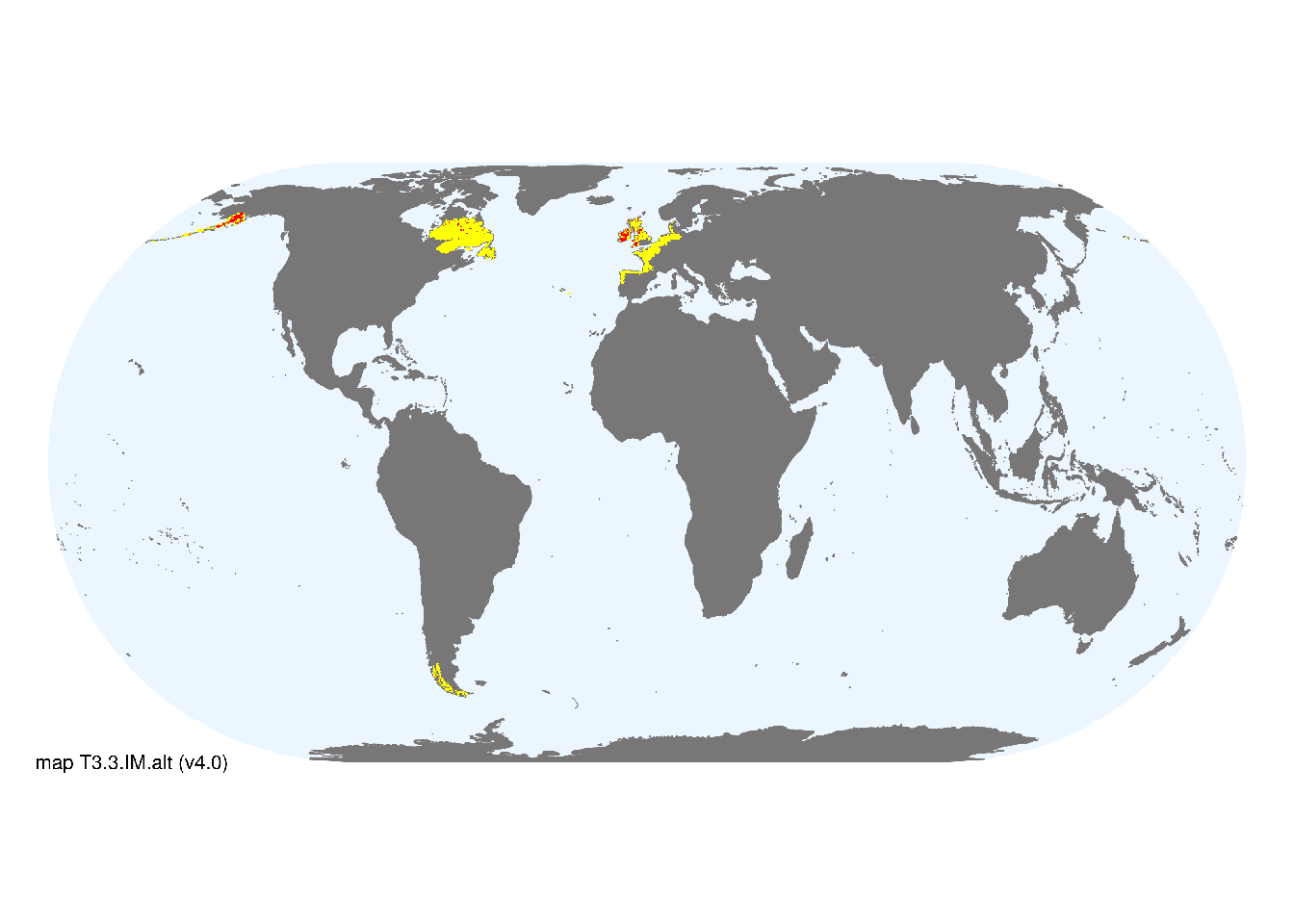
Overview of distribution
Boreal and cool temperate coasts, North America, Europe, Magellenic South America.
Map description
Major and minor occurrences were identified using consensus land-cover maps (Tuanmu et al. 2014; Latifovic et al. 2016), then cropped to selected terrestrial ecoregions at 30 arc seconds spatial resolution (Dinerstein et al. 2017; CEC 1997). Ecoregions were selected if they contained areas mentioned or mapped in published regional studies (Loidi et al. 2015; Luebert & Pliscoff 2017), or if: i) their descriptions mentioned features consistent with those identified in the profile of the Ecosystem Functional Group; and ii) if their location was consistent with the ecological drivers described in the profile..
Map code and version: T3.3.web.alt v4.0, available at ![]()
Version history
Profile versions
- v2.1 (2022-04-06): DA Keith; F Essl; NA Brummitt; J Loidi.1
- v2.01 (2021-12-31): NA.
- v2.0 (2020-07-03): DA Keith; F Essl; NA Brummitt; J Loidi.
- v1.0 (2020-01-20): DA Keith; F Essl; NA Brummitt.
Available maps
Read more details about the current map versions here.
- Indicative Map (code: T3.3.IM.alt, version v4.0)
- Web navigation (code: T3.3.web.alt, version v4.0)

Read more details about older or alternative versions of maps for this functional group.
- Indicative Map: discarded (code: T3.3.IM.alt, version v3.0)
- Indicative Map: discarded (code: T3.3.IM.alt, version v2.1)
- Indicative Map: discarded (code: T3.3.IM.alt, version v2.0)
- Web navigation: requires review (code: T3.3.web.orig, version v1.0)
- Indicative Map: discarded (code: T3.3.IM.orig, version v1.0)
- Indicative Map: discarded (code: T3.3.IM.mix, version v1.0)
- Web navigation: requires review (code: T3.3.web.mix, version v1.0)
References
Main references
References used in the different versions of the profiles.
- Aerts R, Heil GW (1993) Heathlands: patterns and processes in a changing environment Kluwer Academic Publishing
- Loidi J, Biurrun I, Juan Antonio Campos JA, García-Mijangos I, Herrera M (2010) A biogeographical analysis of the European Atlantic lowland heathlands Journal of Vegetation Science 21(5): 832–842 DOI:10.1111/j.1654-1103.2010.01204.x
- Watt AS (1947) Pattern and process in the plant community Journal of Ecology 35, 1-22.
Map references
References used in the different versions of the maps (current and discarded).
- Commission for Environmental Cooperation (1997) Ecological Regions of North America – Toward a Common Perspective Montréal, Québec, Canada; 1997. PDF
- Dinerstein E, Olson D, Joshi A, Vynne C, Burgess ND, Wikramanayake E, Hahn N, Palminteri S, Hedao P, Noss R, Hansen M, Locke H, Ellis EE, Jones B, Barber CV, Hayes R, Kormos C, Martin V, Crist E, Sechrest W, Price L, Baillie JEM, Weeden D, Suckling K, Davis C, Sizer N, Moore R, Thau D, Birch T, Potapov P, Turubanova S, Tyukavina A, de Souza N, Pintea L, Brito JC, Llewellyn Barnekow Lillesø JP, van Breugel P, Graudal L, Voge M, Al-Shammari KF, Saleem M (2017) An Ecoregion-Based Approach to Protecting Half the Terrestrial Realm, BioScience 67: 534–545. DOI:10.1093/biosci/bix014. Data-set available on-line
- Mapping and Assessment of Ecosystems and their Services: Mapping and assessing the condition of Europe’s ecosystems: progress and challenges. Final Report. European Commision Technical report – 2016 – 095 PDF
- Martin Jung, Prabhat Raj Dahal, Stuart H. M. Butchart, Paul F. Donald, Xavier De Lamo, Myroslava Lesiv, … Piero Visconti. (2020). A global map of terrestrial habitat types [Data set]. Zenodo. DOI: 10.5281/zenodo.3673586
- Latifovic, R., Homer, C., Ressl, R., Pouliot, D., Hossain, S.N., Colditz, R.R., Olthof, I., Giri, C., Victoria, A. (2016) North American land change monitoring system Remote Sensing of Land Use and Land Cover: Principles and Applications Giri, C. (Ed). CRC-Press, pp. 303-324 DOI:10.1201/b11964
- Luebert, F. and Pliscoff, P. (2006) Sinopsis bioclimática y vegetacional de Chile. Editorial Universitaria. Santiago de Chile.
- Tuanmu, M.-N. and W. Jetz (2014) A global 1-km consensus land-cover product for biodiversity and ecosystem modeling Global Ecology and Biogeography 23(9):1031–1045 DOI:10.1111/geb.12182
Footnotes
This is the current version available at official site.↩︎