T2.5 Temperate pyric humid forests
T2. Temperate-boreal forests and woodlands biome
T2
Profile summary
Full profile at https://global-ecosystems.org/explore/groups/T2.5
Brief description
Forests with the tallest flowering trees on earth are complex in structure, with an open canopy of sclerophyll trees 40-90m tall allowing light to filter through to multiple understorey layers and a ground flora of ferns, grasses and mosses. The complex forest structure sustains a high diversity of birds, reptiles mammals, and canopy invertebrates, as well as a moist microclimate and deep, moist leaf litter on the forest floor that supports a diversity of soil invertebrates, fungi, and other microbes. These highly productive, fast-growing forests are notable carbon sinks, but extreme droughts make them prone to the most ferocious forest fires on earth at century-scale intervals. Seedbanks are crucial to the forest persisting after fire.
Key features
Tall, moist and complex multi-layered forests in wet-temperate climates; characterised by sclerophyll dominant trees and diverse mesophyll understorey; population processes driven by fire regimes.
Overview of distribution
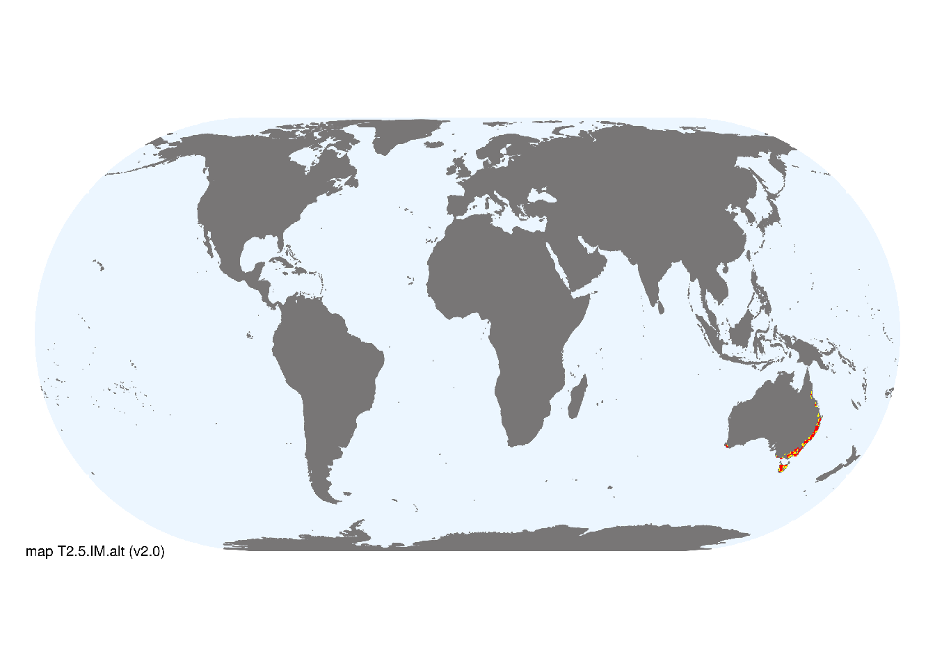
Subtropical - temperate southeast and temperate southwest Australia.
Map description
Remote sensing estimates of canopy height were used as a direct indicator of the distribution of this group of tall forest ecosystems (Armston et al. 2015, Hao et al. 2019). We selected all areas with tree canopies taller than 40m, and clipped to the spatial extent of temperate climate types (Beck et al. 2018). Mapped occurrences were then aggregated to half degree spatial resolution and reclassified as major occurrences (>20% of cell area) and minor occurrences (< 20% of cell area)..
Map code and version: T2.5.web.alt v2.0, available at ![]()
Version history
Profile versions
- v2.1 (2022-04-06): DA Keith; R Mac Nally.1
- v2.01 (2021-12-31): NA.
- v2.0 (2020-06-15): DA Keith; RC Mac Nally.
- v1.0 (2020-01-20): DA Keith; RC Mac Nally.
Available maps
Read more details about the current map versions here.
- Indicative Map (code: T2.5.IM.alt, version v2.0)
- Web navigation (code: T2.5.web.alt, version v2.0)

Read more details about older or alternative versions of maps for this functional group.
- Indicative Map: discarded (code: T2.5.IM.orig, version v1.0)
- Web navigation: requires review (code: T2.5.web.orig, version v1.0)
- Web navigation: in preparation (code: T2.5.WM.nwx, version v1.0)
- Web navigation: requires review (code: T2.5.web.mix, version v1.0)
- Indicative Map: discarded (code: T2.5.IM.mix, version v1.0)
References
Main references
References used in the different versions of the profiles.
- Mac Nally RC (1995) On large-scale dynamics and community structure in forest birds: Lessons from some eucalypt forests of southeastern Australia Philosophical Transactions of the Royal Society B 350B: 369-79
- Wardell-Johnson G, Neldner J, Balmer J (2017) Wet sclerophyll forests Australian vegetation (Ed. DA Keith), pp 281-313. Cambridge University Press, Cambridge. ISBN 978-1-107-11843-0
Map references
References used in the different versions of the maps (current and discarded).
- Armston, J., Scarth, P., Lucas, R., Lewis, P., Disney, M., Phinn, S. (2015) Validation of continental scale vertical plant profile mapping using waveform lidar airborne laser scanning Silvilaser 2015 (Conference Proceedings). La Grande Motte, France, 28-30 September.
- Beck, H., Zimmermann, N., McVicar, T. et al. (2018) Present and future Köppen-Geiger climate classification maps at 1-km resolution Sci Data 5, 180214 DOI:10.1038/sdata.2018.214
- Department of Agriculture, Water and the Environment (2020) National Vegetation Information System V6.0 © Australian Government Department of Agriculture, Water and the Environment
- Dinerstein E, Olson D, Joshi A, Vynne C, Burgess ND, Wikramanayake E, Hahn N, Palminteri S, Hedao P, Noss R, Hansen M, Locke H, Ellis EE, Jones B, Barber CV, Hayes R, Kormos C, Martin V, Crist E, Sechrest W, Price L, Baillie JEM, Weeden D, Suckling K, Davis C, Sizer N, Moore R, Thau D, Birch T, Potapov P, Turubanova S, Tyukavina A, de Souza N, Pintea L, Brito JC, Llewellyn Barnekow Lillesø JP, van Breugel P, Graudal L, Voge M, Al-Shammari KF, Saleem M (2017) An Ecoregion-Based Approach to Protecting Half the Terrestrial Realm, BioScience 67: 534–545. DOI:10.1093/biosci/bix014. Data-set available on-line
- Hao Tang, John Armston, Steven Hancock, Suzanne Marselis, Scott Goetz, Ralph Dubayah (2019) Characterizing global forest canopy cover distribution using spaceborne lidar, Remote Sensing of Environment 231: 111262 DOI: 10.1016/j.rse.2019.111262
- Tuanmu, M.-N. and W. Jetz (2014) A global 1-km consensus land-cover product for biodiversity and ecosystem modeling Global Ecology and Biogeography 23(9):1031–1045 DOI:10.1111/geb.12182
Footnotes
This is the current version available at official site.↩︎