SF2.2 Flooded mines and other voids
SF2. Anthropogenic subterranean freshwaters biome
SF2
Profile summary
Full profile at https://global-ecosystems.org/explore/groups/SF2.2
Brief description
Disused subterranean mines and other voids may fill with static or slowing moving water from seepage. The inhabitants of these ecosystems include biofilms comprising bacteria, aquatic fungi and protists that originated as colonists from surrounding groundwaters, or imported with people. As well as the lack of light and low nutrient levels, productivity and diversity may be limited by heavy metals and toxins liberated during construction and mining of the voids.
Key features
Underground largely static low-productivity waterbodies often with large of warm groundwater or seepage, colonised by opportunistic microbes and invertebrates.
Overview of distribution
Common in mineral rich regions of the world.
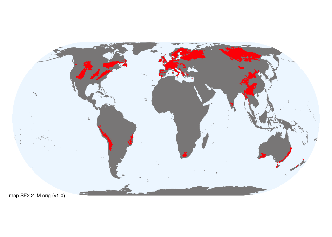
Map description
Point records of flooded mines were compiled from public databases (https://www.unexmin.eu/the-european-inventory-of-flooded-mines-is-now-online/), an internet search for “flooded mines” and locations of deep mines inferred from world mineral resources spatial data (USGS: https://mrdata.usgs.gov/). Terrestrial ecoregions (Dinerstein et al. 2017) with concentrations of these records were selected to represent an indicative global distribution of flooded mines at 30 arc seconds spatial resolution..
Map code and version: SF2.2.web.orig v1.0, available at ![]()
Version history
Profile versions
- v2.1 (2022-04-06): DA Keith; TM Iliffe.1
- v2.01 (2021-12-31): NA.
- v2.0 (2020-06-03): DA Keith; TM Iliffe.
Available maps
Read more details about the current map versions here.
- Indicative Map (code: SF2.2.IM.orig, version v1.0)
- Web navigation (code: SF2.2.web.orig, version v1.0)

Read more details about older or alternative versions of maps for this functional group.
- Web navigation: in preparation (code: SF2.2.WM.nwx, version v1.0)
References
Main references
References used in the different versions of the profiles.
- Nuttall, CA; Younger, PL (2004) Hydrochemical stratification in flooded underground mines: an overlooked pitfall Journal of Contaminant Hydrology 69, 101-114 DOI:10.1016/s0169-7722(03)00152-9
- Roesler AJ, Gammons CH, Druschel GK et al. (2007) Geochemistry of flooded underground mine workings influenced by bacterial sulfate reduction Aquatic Geochemistry 13, 211–235 DOI:10.1007/s10498-007-9017-9
- Wright IA, Paciuszkiewicz K, Belmer N (2018) Increased water pollution after closure of Australia’s longest operating underground coal mine: a 13-month study of mine drainage, water chemistry and river ecology Water, Air, & Soil Pollution 229, 55 DOI:10.1007/s11270-018-3718-0
Map references
References used in the different versions of the maps (current and discarded).
- Dinerstein E, Olson D, Joshi A, Vynne C, Burgess ND, Wikramanayake E, Hahn N, Palminteri S, Hedao P, Noss R, Hansen M, Locke H, Ellis EE, Jones B, Barber CV, Hayes R, Kormos C, Martin V, Crist E, Sechrest W, Price L, Baillie JEM, Weeden D, Suckling K, Davis C, Sizer N, Moore R, Thau D, Birch T, Potapov P, Turubanova S, Tyukavina A, de Souza N, Pintea L, Brito JC, Llewellyn Barnekow Lillesø JP, van Breugel P, Graudal L, Voge M, Al-Shammari KF, Saleem M (2017) An Ecoregion-Based Approach to Protecting Half the Terrestrial Realm, BioScience 67: 534–545. DOI:10.1093/biosci/bix014. Data-set available on-line
- Maus, Victor; Giljum, Stefan; Gutschlhofer, Jakob; da Silva, Dieison M; Probst, Michael; Gass, Sidnei L B; Luckeneder, Sebastian; Lieber, Mirko; McCallum, Ian (2020) Global-scale mining polygons (Version 1) PANGAEA DOI:10.1594/PANGAEA.910894
- McFaul, E.J., Mason, G.T., Ferguson, W.B., and Lipin, B.R. (2000) U.S. Geological Survey mineral databases; MRDS and MAS/MILS USGS Data Series 52 DOI:10.3133/ds52
- Stasi, Giorgia; Fernandez, Isable, Müller, Peter (2018) UNEXMIN D5.4 - Inventory of Flooded Mines UNEXMIN deliverable
Footnotes
This is the current version available at official site.↩︎