S2.1 Anthropogenic subterranean voids
S2. Anthropogenic subterranean voids biome
S2
Profile summary
Full profile at https://global-ecosystems.org/explore/groups/S2.1
Brief description
Industrial excavations create artificial voids that resemble caves. Like caves, they lack inputs of solar energy, and plants and herbivores are absent, except at their openings or around artificial lighting. They are colonised by opportunistic invertebrates and vertebrates, and microbes from the rock matrix or imported materials. Diversity is low, but depends on proximity to openings, human activity during occupation and time since excavation.
Key features
Dry or humid subterranean voids created by mining or infrastructure development and colonised by opportunistic microbes, invertebrates and sometimes vertebrates..
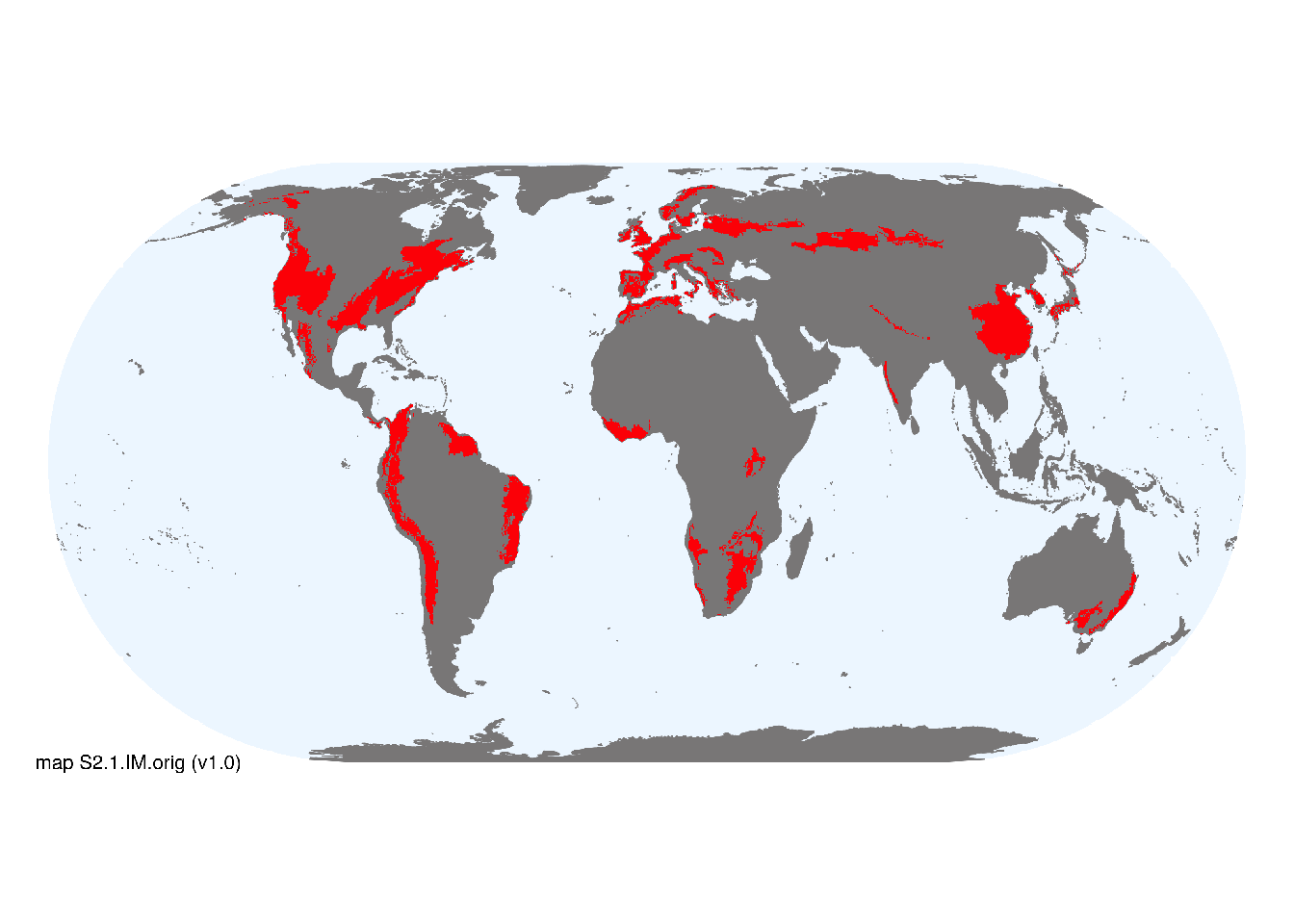
Overview of distribution
Associated with urban and industrial infrastructure worldwide.
Map description
Terrestrial ecoregions containing major or minor occurrences of this ecosystem functional group were identified by consulting available ecoregion descriptions (Dinerstein et al. 2017), global and regional reviews, national and regional ecosystem maps, locations of relevant examples, and proofed by expert reviewers. Consequently they are coarse-scale indicative representations of distribution, except where they occupy small ecoregions. Ecoregions were mapped at 30 arc second spatial resolution..
Map code and version: S2.1.web.orig v1.0, available at ![]()
Version history
Profile versions
- v2.1 (2022-04-06): DA Keith; TM Iliffe; V Gerovasileiou; B Gonzalez; D Brankovits; A Martínez García.1
- v2.01 (2021-12-31): NA.
- v2.0 (2020-05-31): DA Keith; TM Iliffe; V Gerovasileiou; B Gonzalez; D Brankovits; A Martínez García.
- v1.0 (2020-01-20): DA Keith.
Available maps
Read more details about the current map versions here.
- Web navigation (code: S2.1.web.orig, version v1.0)

- Indicative Map (code: S2.1.IM.orig, version v1.0)
Read more details about older or alternative versions of maps for this functional group.
- Web navigation: in preparation (code: S2.1.WM.nwx, version v1.0)
References
Main references
References used in the different versions of the profiles.
- Engel AS (2010) Microbial diversity of cave ecosystems Geomicrobiology: Molecular and environmental perspective (Eds. LL Barton, M Mandl, A Loy), pp219-238. Springer, Dordrecht
- Gibert J, Deharveng L (2002) Subterranean ecosystems: a truncated functional biodiversity BioScience 52, 473-481 DOI:10.1641/0006-3568(2002)052[0473:seatfb]2.0.co;2
Map references
References used in the different versions of the maps (current and discarded).
- Dinerstein E, Olson D, Joshi A, Vynne C, Burgess ND, Wikramanayake E, Hahn N, Palminteri S, Hedao P, Noss R, Hansen M, Locke H, Ellis EE, Jones B, Barber CV, Hayes R, Kormos C, Martin V, Crist E, Sechrest W, Price L, Baillie JEM, Weeden D, Suckling K, Davis C, Sizer N, Moore R, Thau D, Birch T, Potapov P, Turubanova S, Tyukavina A, de Souza N, Pintea L, Brito JC, Llewellyn Barnekow Lillesø JP, van Breugel P, Graudal L, Voge M, Al-Shammari KF, Saleem M (2017) An Ecoregion-Based Approach to Protecting Half the Terrestrial Realm, BioScience 67: 534–545. DOI:10.1093/biosci/bix014. Data-set available on-line
- Maus, Victor; Giljum, Stefan; Gutschlhofer, Jakob; da Silva, Dieison M; Probst, Michael; Gass, Sidnei L B; Luckeneder, Sebastian; Lieber, Mirko; McCallum, Ian (2020) Global-scale mining polygons (Version 1) PANGAEA DOI:10.1594/PANGAEA.910894
Footnotes
This is the current version available at official site.↩︎