F2.9 Geothermal pools and wetlands
F2. Lakes biome
F2
Profile summary
Full profile at https://global-ecosystems.org/explore/groups/F2.9
Brief description
Geothermal pools and associated wetlands are fed by deeply circulating groundwater that mixes with magma and hot rocks in volcanically active regions. Mineral concentrations are therefore high and produce chemically precipitated substrates as waters cool. The extreme temperatures and water chemistry limit life to a low diversity of specialised bacteria, extensive algal mats and insect larvae which can live in warm acid or alkaline water with high mineral content. Away from their hottest waters, aquatic plants, crustaceans, frogs, fish, snakes and birds can all occur.
Key features
Hot springs, geysers and mud pots dependent on groundwater interactions with magma and hot rocks, supporting highly specialised low diversity biota tolerate of high temperatures and high concentrations of inorganic salts.
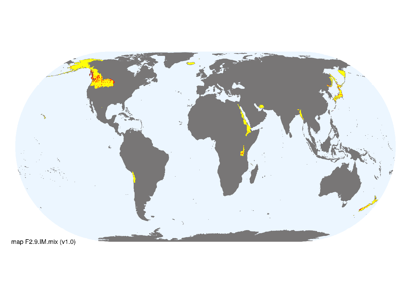
Overview of distribution
Tectonically or active volcanic areas from the tropical to subpolar latitudes.
Map description
Freshwater ecoregions (Abell et al. 2008) were identified as containing occurrences of these functional groups if: i) their descriptions mentioned features consistent with those identified in the profile of the Ecosystem Functional Group; and ii) if their location was consistent with the ecological drivers described in the profile. Within those areas, locations of small lakes (<100km2), excluding artificial lakes (inclusion on types 1 and 3 only), were taken from the HydroLAKES database (Messager et al. 2016) and combined with global estimates of surface water phenology (classes 1, 2 and 7 from Pekel et al. 2016), occurrences were aggregated to 10 minutes spatial resolution..
Map code and version: F2.9.web.mix v1.0, available at ![]()
Version history
Profile versions
- v2.1 (2022-04-06): DA Keith; A Channing; PS Giler.1
- v2.01 (2021-12-31): NA.
- v2.0 (2020-05-26): DA Keith; A Channing; PS Giler.
- v1.0 (2020-01-20): DA Keith.
Available maps
Read more details about the current map versions here.
- Indicative Map (code: F2.9.IM.mix, version v1.0)
- Web navigation (code: F2.9.web.mix, version v1.0)

Read more details about older or alternative versions of maps for this functional group.
- Indicative Map: discarded (code: F2.9.IM.orig, version v1.0)
- Web navigation: duplicated (code: F2.9.web.map, version v1.0)
- Web navigation: requires review (code: F2.9.web.orig, version v1.0)
References
Main references
References used in the different versions of the profiles.
- Channing A (2018) A review of active hot-spring analogues of Rhynie: environments, habitats and ecosystems Philosophical Transactions of the Royal Society B 373: 20160490
- Power JF, Carere CR, Lee CK, Wakerley GLJ, Evans DW, Button M, White D, Climo MD, Hinze AM, Morgan XC, McDonald IR, Cary SC, Stott MB (2018) Microbial biogeography of 925 geothermal springs in New Zealand. Nature Communications 9: 2876. DOI: 10.1038/s41467-018-05020-y
Map references
References used in the different versions of the maps (current and discarded).
- Abell R, Thieme ML, Revenga C, Bryer M, Kottelat M, Bogutskaya N, Coad B, Mandrak N, Contreras Balderas S, Bussing W, Stiassny MLJ, Skelton P, Allen GR, Unmack P, Naseka A, Ng R, Sindorf N, Robertson J, Armijo E, Higgins JV, Heibel TJ, Wikramanayake E, Olson D, López HL, Reis RE, Lundberg JG, Sabaj Pérez MH, Petry P (2008) Freshwater ecoregions of the world: A new map of biogeographic units for freshwater biodiversity conservation, BioScience 58: 403–414. DOI:10.1641/B580507
- Messager, M.L., Lehner, B., Grill, G., Nedeva, I., Schmitt, O. (2016) Estimating the volume and age of water stored in global lakes using a geo-statistical approach Nature Communications 13603 DOI:10.1038/ncomms13603
- Pekel JF, Cottam A, Gorelick N, Belward AS (2016) High-resolution mapping of global surface water and its long-term changes Nature 540, 418-422 DOI:10.1038/nature20584
Footnotes
This is the current version available at official site.↩︎